Mad River ice triggers flood warning
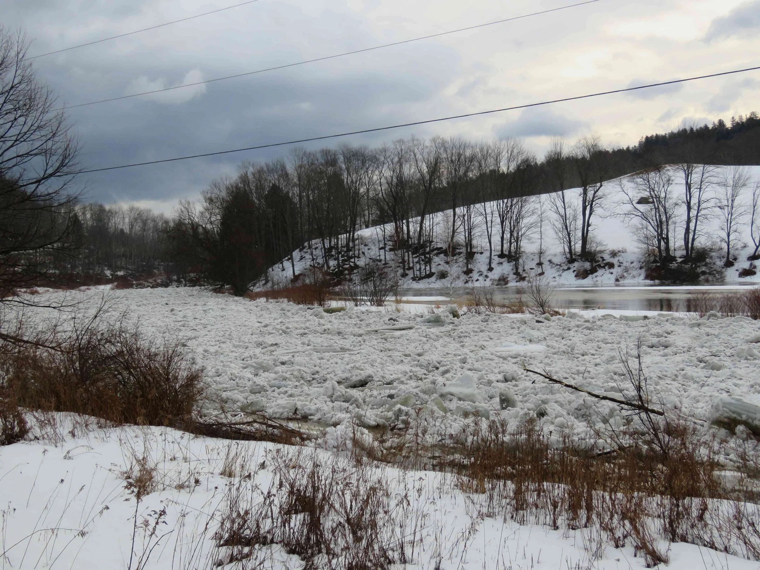
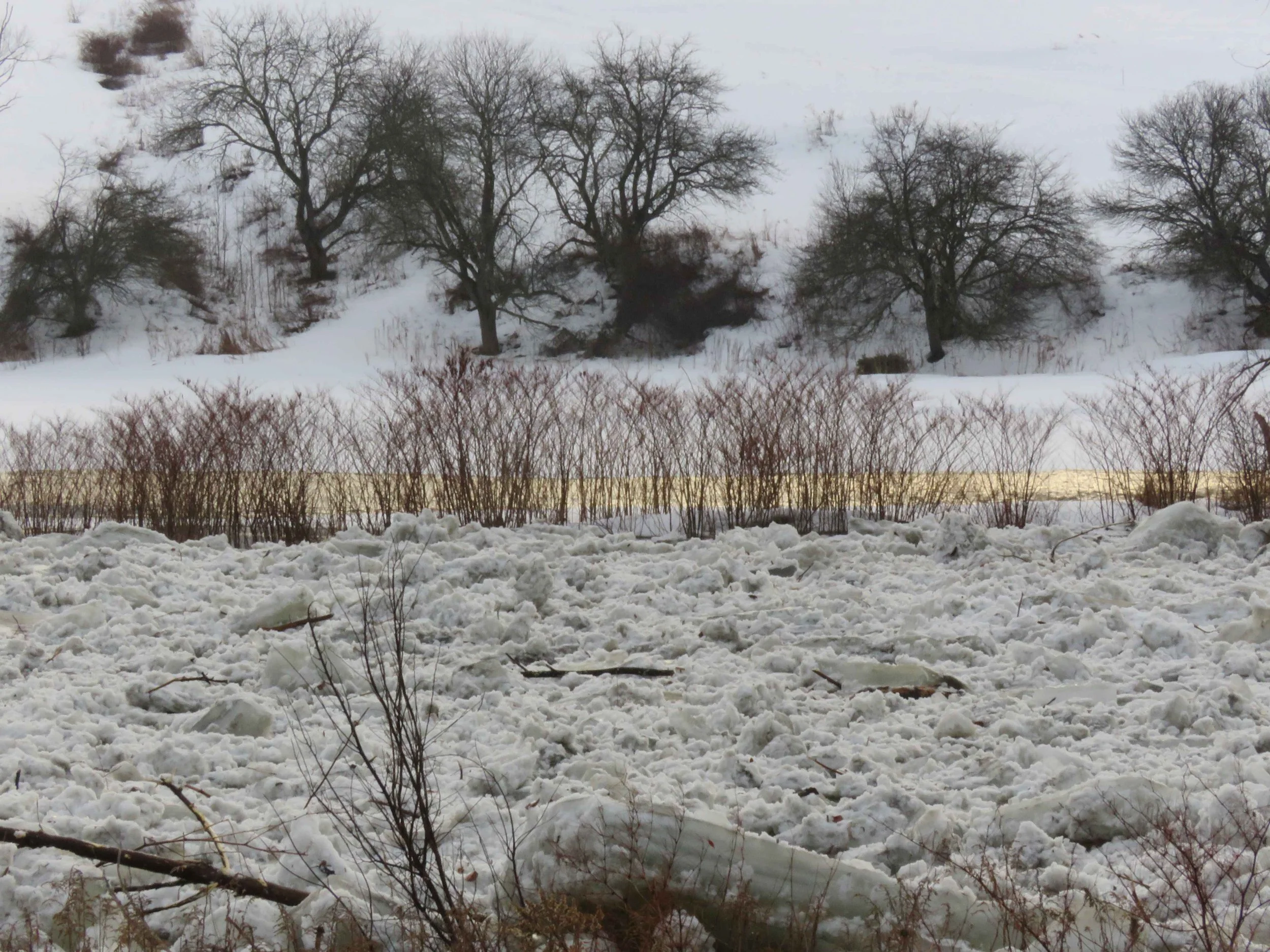
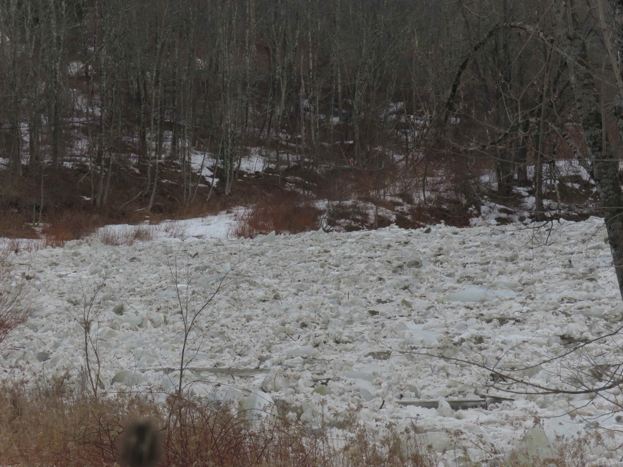
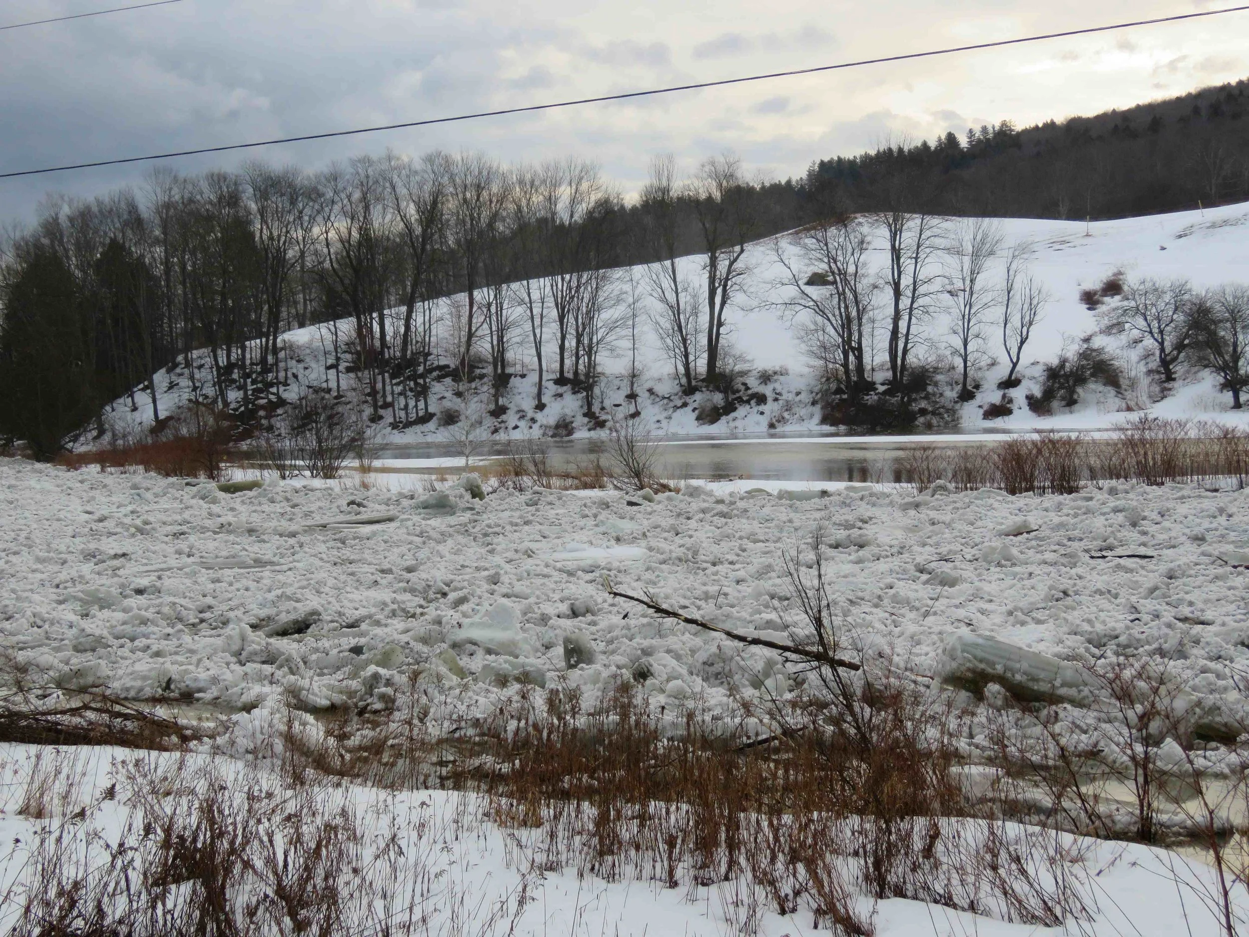
March 8, 2026 | By Lisa Scagliotti with photos & video by Shawnee PerryThe Mad River Sunday morning along Vermont Route 100B in Moretown near Stevens Brook Road. Photo by Shawnee Perry
The U.S. National Weather Service in Burlington has issued a moderate flood warning for the Mad River in Moretown and Waitsfield for today, through this evening. As of 1 p.m. the river had reached 12.06 feet. Flood stage is considered 9 feet when water begins to leave the river’s banks in Moretown and Waitsfield.
Ice jams are causing lowland flooding along the river corridor. The weather service warning states: “Caution is urged when walking near riverbanks. Water levels can rise behind ice jams very quickly, or the jam can release with little to no warning. Remain well away from the river`s edge and never walk on any ice. Turn around, don’t drown when encountering flooded roads. Most flood deaths occur in vehicles.”
Forecasters note that the river is expected to drop back down below flood stage this evening and continue falling to 4.6 feet by Wednesday morning. A forecast update is expected at 7:15 p.m. on the NWS Burlington website here. See the river gauge measurements online here. Forecast models looking out 10 days show the potential for more flooding this week.
So far in Waterbury, the Winooski River is flowing without ice jam issues and hourly measurements show the water levels several feet below action level. Find the Waterbury river gauge information online here.
Mad River Valley TV has a live webcam at the covered bridge on Bridge Street in Waitsfield here.
Video and photos below by Shawnee Perry along Vermont Route 100B in Moretown. Click images to enlarge.