Weekend outlook: Cloudy with a chance of deep freeze, then snow (& no school Monday)
January 23, 2026 | By Lisa Scagliotti This post was updated at 4:25 p.m. Sunday with Harwood school information for Monday.
HARWOOD SCHOOLS CLOSED MONDAY
4:15 p.m. Sunday | From Harwood Superintendent Mike Leichliter
Good afternoon everyone,
Unlike some of our recent storms, this one is already underway well in advance of the start of school. I just got off a Zoom call for superintendents with the National Weather Service office in Burlington. Forecasters are consistently calling for 12 to 18 inches of snow ending between 6-8 p.m. Monday, and given the projected duration and intensity, I am making the decision to close now for Monday, January 26.
We also reached out to road crews earlier today. The feedback was consistent and concerning. Because of the extremely cold temperatures and limited salt supplies in the region, crews are planning to rely primarily on sand at paved intersections during the storm rather than full treatment in order to preserve salt. That approach makes sense from their perspective, but it does create additional challenges for bus routes and overall travel safety throughout the day.
Given the amount of snow expected and the road treatment limitations, closing now provides families and staff time to plan and avoids uncertainty later. A message will go out to families around 4:30 p.m. today.
Enjoy the snow! ~ Mike
Also: All district-sponsored after-school activities are canceled for Monday.
Weather forecasters say a deep-freeze blast of subzero temperatures Friday night into Saturday will be followed by a wallop of a winter storm Sunday into Monday with upwards of a foot of dry, fluffy snow expected across Central Vermont.
The National Weather Service in Burlington has issued an Extreme Cold Warning from 7 p.m. Friday through 1 p.m. Saturday. Sunday temperatures are expected to inch up above zero slightly on Sunday before snow arrives from south to north in the afternoon and evening.
State and local agencies are stepping up with preparations to respond to people in need of assistance during the cold snap with temperatures forecasted into the teens below zero and wind chills down to -20F and colder, according to forecasts.
State public health officials advise people to stay indoors if possible or find a warming center or shelter. State agencies are opening a number of shelters in larger communities around Vermont, including the Teen Center at 130 Main Street, Montpelier, from 8 p.m. tonight until 8 a.m. Saturday, and the Barre Congregational Church, 35 Church St., 7 p.m. to 7 a.m. Friday through Monday.
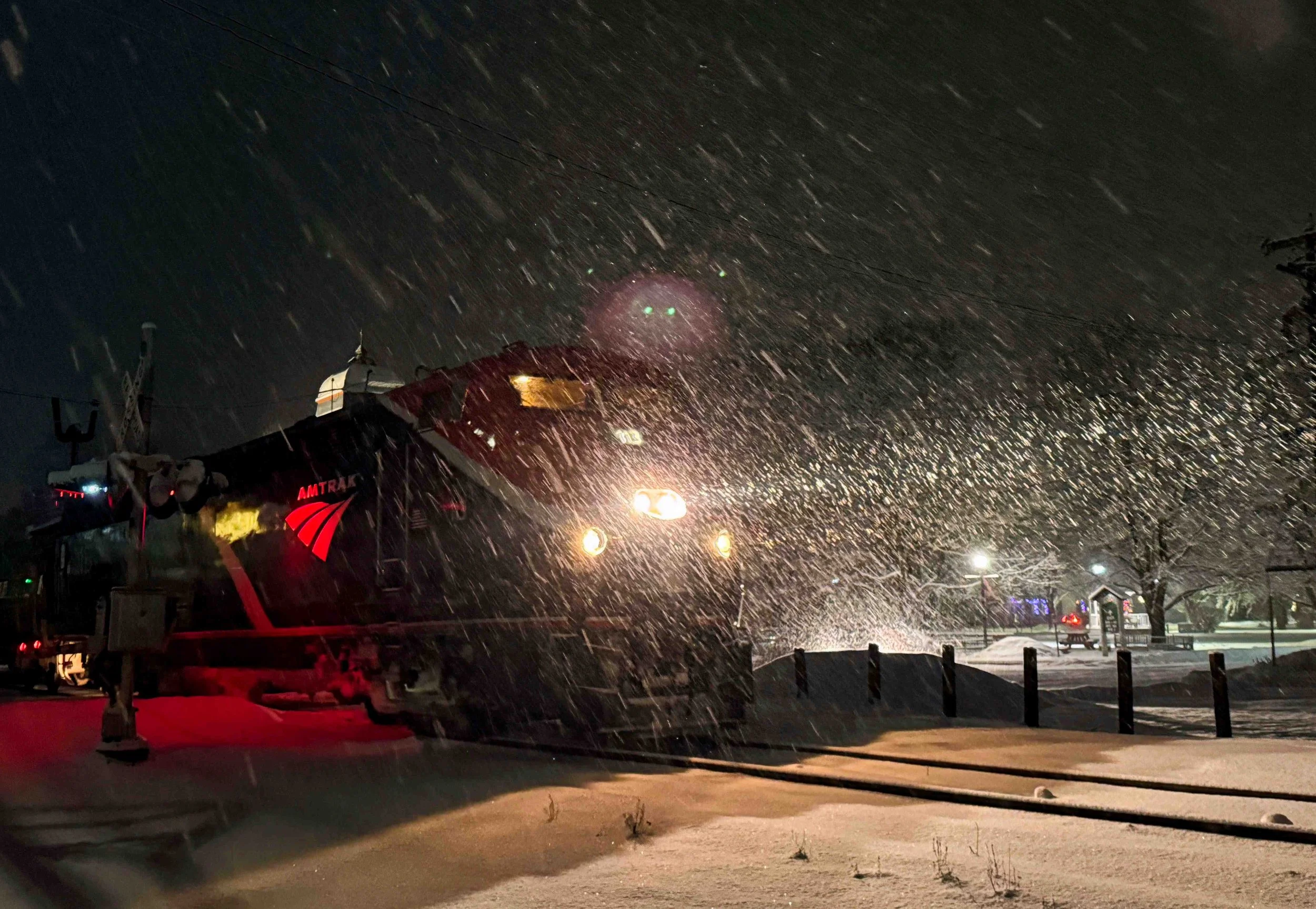
Amtrak’s Vermonter rolls out from the Waterbury Train Station during a recent evening snow squall. Photo by Gordon Miller
The Vermont Emergency Management website and the statewide helpline 2-1-1 can provide the most up-to-date information on warming shelters. Many will open tonight and Saturday nights and remain open beyond that depending on temperature and location.
In Waterbury, town officials on Friday said there was no plan to open a warming shelter this weekend. On Friday night, officials in Warren announced that the Warren Town Hall will be open on Saturday from 9 a.m. to 5 p.m. for those in need of a warm space. Coffee and hot water will be available.
Waterbury Public Works Director Bill Woodruff said town highway staff ensured equipment was ready for the weekend storm and conditions. “All equipment is operational and I am expecting all of our staff to be on the job for the storm,” he said. “The cold and wind will make visibility difficult at times, and we would ask that residents take caution when approaching or following a snow removal vehicle.”
The town parking ban is also in effect from midnight to 6 a.m. with no parking on town streets. Anyone needing overnight parking may use the lot near the town garage behind Brookside Primary School on Woody Avenue (formerly Armory Avenue).
Woodruff added that there are areas of ice on the roadsides and sidewalks that will not be visible after the snow. “Please take caution when entering and exiting your vehicle, as the areas along the curbs and roadsides still have an abundance of ice,” he said.
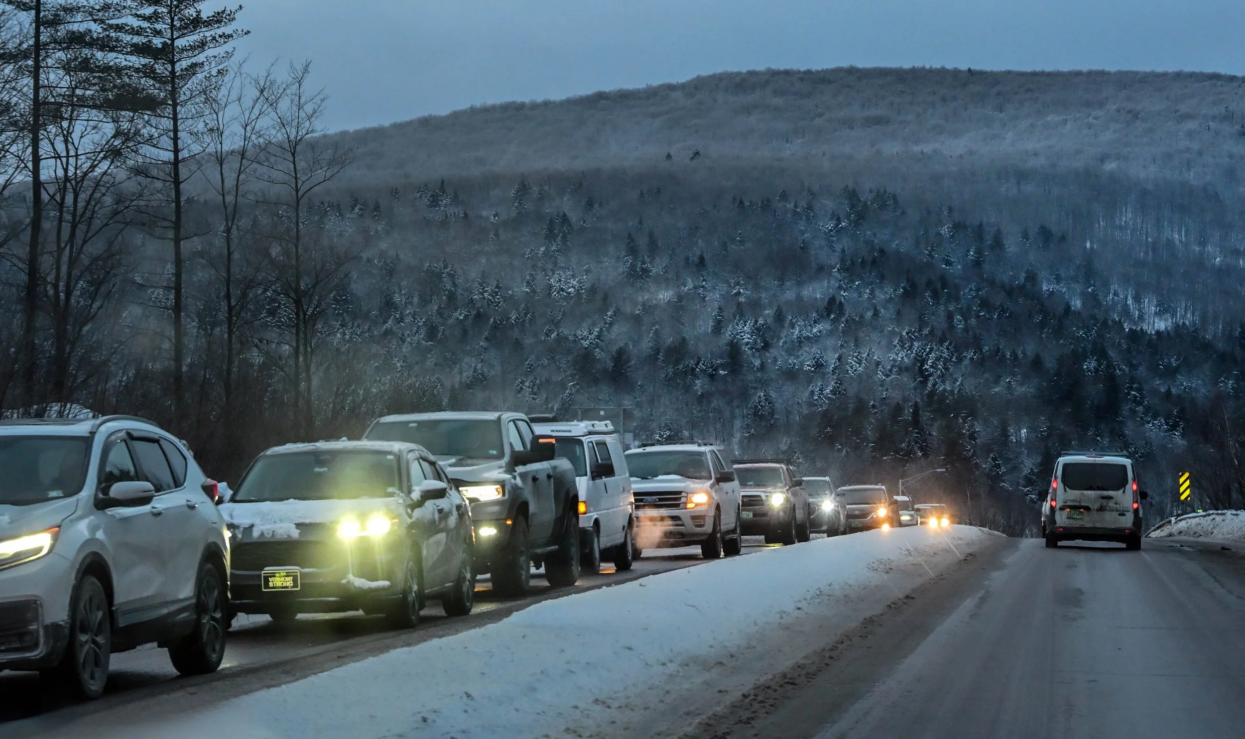
Traffic on Vermont Rt. 100 near the Interstate 89 interchange in Waterbury. Photo by Gordon Miller
State police on ‘freeze patrols’
Vermont State Police say they are putting their “freeze patrols” into effect to have continuous coverage in their service areas starting overnight Friday through the weekend.
During freeze patrols, night-shift troopers stay on duty beyond their normal 2 a.m. end of shift, and the day shift signs on earlier in the morning to prevent having gaps in police coverage, according to state police.
The freeze patrol effort will continue into Sunday, and extra patrols could be extended if needed, as a significant snowstorm is predicted to follow the subzero temperatures.
This is the second time in less than a month that the state police have activated a freeze patrol. The first occurred during the Dec. 28-29 ice storm. The Vermont Department of Motor Vehicles Enforcement and Safety Division will be providing extra police coverage during the overnight hours this weekend. Anyone with an emergency on the roads should call 911.
As road conditions deteriorate with the arrival of snow on Sunday, state police remind drivers to leave plenty of time to reach your destination, slow down, wear a seat belt, increase following distance between vehicles, give plow trucks and emergency vehicles room to operate, move over when overtaking a vehicle stopped on the side of the road, and to be patient behind the wheel.
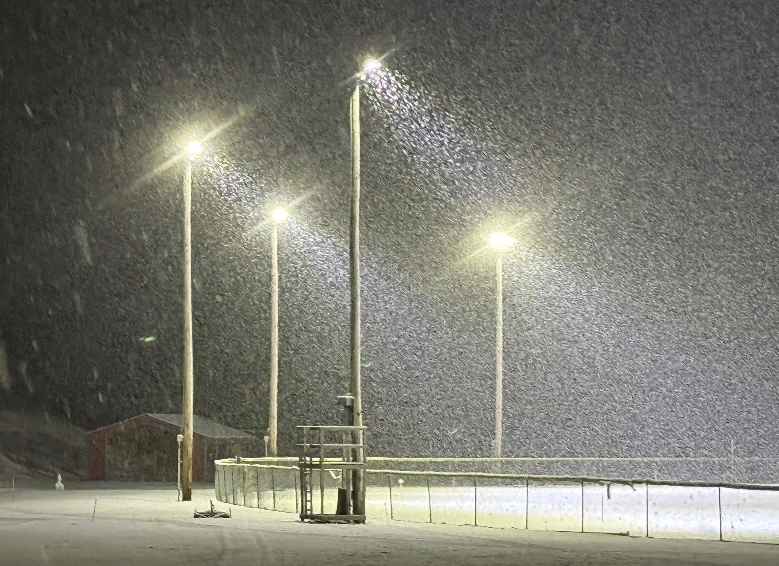
Snowfall under the lights at Dac Rowe Park in December. Photo by Gordon Miller
Safety tips
On Friday, multiple agencies shared tips for Vermonters to stay safe during the extreme cold snap and wintry conditions over the next several days:
Be a good neighbor. Check with older Vermonters or others who may need assistance to ensure they have heat, food, and water, and are safe.
Limit outdoor activities during the coldest hours, including time pets are outdoors.
Dress in several layers of loose-fitting, lightweight clothing, rather than a single layer of heavy clothing. Outer garments should be tightly woven and water repellent. Wear a hat, mittens, and sturdy waterproof boots to protect extremities and cover your mouth with a scarf to protect your lungs.
Excessive exposure can lead to frostbite, which can damage body tissue. Frostbite causes a loss of feeling and a pale appearance in extremities, such as fingers, toes, ear lobes, or the tip of the nose. If you have any symptoms, seek medical help immediately. Slowly warm the affected areas while awaiting medical assistance.
Hypothermia can occur in extreme cases. The warning signs include uncontrollable shivering, memory loss, disorientation, incoherence, slurred speech, drowsiness, and apparent exhaustion. If the person’s temperature drops below 95 degrees, seek immediate medical care.
Ensure you have sufficient heating fuel (including wood). If you lose heat, use only safe alternative heating sources, such as a fireplace, wood stove, or space heater, and take the necessary safety precautions. Test smoke alarms and carbon monoxide detectors and ensure heat sources are venting properly.
If you lose your heat, seal off unused rooms by stuffing towels in the cracks under the doors. At night, cover windows with extra blankets or sheets. Food provides the body with energy for producing its own heat.
the event you are stranded by a breakdown minor accident and must wait for help. An emergency kit should contain extra warm clothes, a flashlight, flares, jumper cables, shovel, ice scraper, traction helpers such as kitty litter or sand, a first-aid kit, extra food and water, and a portable phone charger. Be sure to leave with sufficient fuel and de-icer, proper tire pressure, and a battery in good condition.
For weather, road, or emergency updates sent directly to your e-mail or cell phone, sign up for Vermont Alert at vtalert.gov.
Weather forecast information: weather.gov/btv.
Additional cold-weather information and resources are available online from Vermont Emergency Management and the Vermont Department of Health. The National Weather Service BTV and state agencies will also be posting updates on their social media channels this weekend including Vermont Emergency Management, Vermont Department of Health and Vermont State Police on their Facebook and X/Twitter accounts.