Survey, presentations, envision the future of Randall Meadow
October 5, 2026 | By Lisa Scagliotti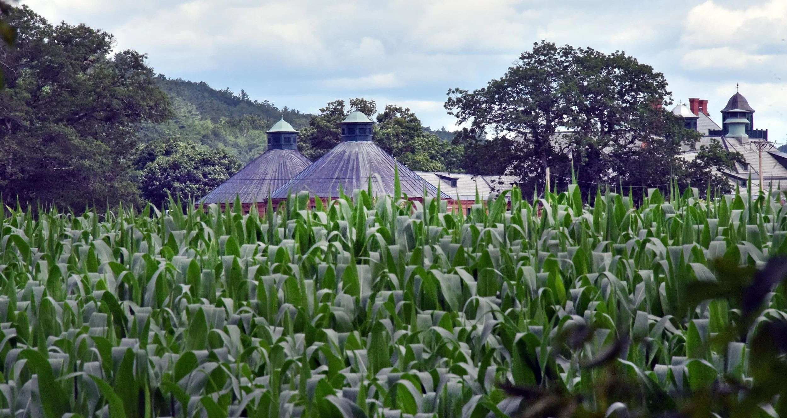
Randall Meadow is currently used to grow corn for animals at a Warren dairy farm. Plans are now being explored for a major effort to lower the roughly 45 acres to increase flood storage and to increase future recreational uses on the land. File photo by Gordon Miller
Multiple projects currently underway are focused on the future of Randall Meadow in downtown Waterbury as a site that can expand the floodplain and continue to be a place for people to recreate.
Waterbury community members have several opportunities to learn more about several of these efforts and share their ideas.
The first chance is tonight, Oct. 5, in an online discussion via Zoom hosted by the National Park Service, which is working with Waterbury and other Central Vermont communities to explore how riverfront spaces and community pathways can support flood resilience, river access, land conservation, recreation and connections to nature.
An online presentation is scheduled for 7 p.m. tonight. In addition to Randall Meadow in Waterbury, it will also look at Northfield’s Dog River Park and Brattleboro’s Whetstone Brook, where those communities have combined flood mitigation with river access, land conservation, pollinator gardens, and accessible, resilient pathways. Join the Zoom discussion at this link.
In addition, there are several online surveys connected with the National Park Service project efforts in the area. Community members are invited to share input on three local pilot programs that are part of this initiative:
Randall Meadow: Exploring possibilities for the 40-acre riverfront property
Waterbury Pathways: Considering ways to develop accessible and resilient community paths
River Access in North Moretown: Seeking out how to connect the community to the river
Oct. 23: Continue the conversation in person
More discussion of the Waterbury efforts will take place on Friday, Oct. 23, from 6:30 to 8:30 p.m., at an open house with an interactive presentation in the Steele Community Room at the municipal complex. The in-person community session will offer another chance to consider ideas on the topics of Randall Meadow and Waterbury’s pathways.
The efforts are being led by the Waterbury town Recreation Department and Discover Waterbury (formerly Revitalizing Waterbury) in partnership with the National Park Service’s Rivers, Trails and Conservation Assistance Program.
Town mitigation environmental review
These projects are separate from work that has begun to plan for the flood mitigation project that will involve lowering Randall Meadow to create more flood storage capacity. The environmental review for that town-led project is also now underway.
The town of Waterbury has been awarded a $2 million federal disaster recovery grant, administered by the state of Vermont through the Community Development Block Grant program for this project. The grant would likely cover less than half the cost of the project, and Waterbury voters earlier this year approved a bond for up to $4.3 million to help with those costs.
The town then hired the consulting firm VHB with offices in Montpelier to begin the environmental review for this project.
The roughly 45-acre parcel known as Randall Meadow sits between the Winooski River and the Randall Street residential neighborhood, south of Winooski Street and north of the State Office Complex. It’s currently owned by the state and is leased to a dairy farmer in Warren who plants corn on it to feed his herd. That lease ends this year, and the state has agreed to transfer the ownership of the land to the town of Waterbury if and when it decides to proceed with flood mitigation work. That decision, in part, will be informed by the environmental review that began this summer.
The Waterbury Pathways project with the National Park Service is a parallel effort that could be incorporated into the overall Randall Meadow plan. Input collected in the survey above, that will be open through Oct. 22, will play a role as the flood mitigation project moves forward.